Title:
Novel Techniques for Monitoring Moose: Drones, Cameras, Action!
Slideshow Presentation
Best viewed by downloading
Preview Converted Images may contain errors
Abstract
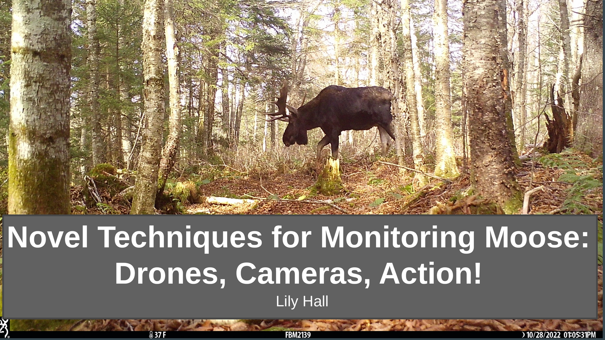
Accurate and precise estimates of moose (Alces alces) density are pivotal for understanding population dynamics and for making informed management decisions in a changing climate. One new promising method for obtaining this information is unpiloted aerial systems (UASs). However, this technology still requires critical evaluation, especially with respect to its application to monitoring unmarked moose populations over large spatial scales (hundreds to thousands of square kilometers). One acute challenge is properly accounting for imperfect detection, or “sightability”, which occurs when moose within sample transects are not detected and therefore uncounted. A recent review found that less than half of studies estimating moose density adequately accounted for sightability, suggesting that many moose population estimates might be biased low. Our objectives were to 1) quantify sightability using UASs flown over unmarked moose populations, and 2) evaluate the general efficacy of UASs for estimating moose density. We conducted 35 UAS flights in northern New Hampshire, USA during January and February 2023 using a DJI Matrice 300 RTK quadcopter equipped with a DJI Zenmuse H20T sensor that recorded both RGB and infrared thermal images. We recorded 59 moose detections across 30 km2 of high-quality moose habitat. We also recorded sampling effort per unit of area to evaluate the potential costs and spatial scale limitations of UAS monitoring of moose by managers and researchers. We detected moose in conifer cover up to 90 percent which is similar to findings in a previous study. Detection was near 100% up to a mean conifer canopy cover of 25%. Beyond that level of cover, detection declined, and we will present preliminary data on the slope of this relationship based upon trials using a modified double observer analysis approach. Using this data, we describe our initial approach for developing a method for quantifying sightability and reflect upon lessons learned while deploying this promising technology for moose research and management. Overall, this study suggests that UASs offer a promising method for estimating moose densities over broad spatial scales, even in the absence of tagged or GPS-collared individuals.
Authors
| First Name |
Last Name |
|
Remington
|
Moll
|
|
Michael
|
Palace
|
|
Henry
|
Jones
|
|
Sophia
|
Burke
|
|
Franklin
|
Sullivan
|
|
Lily
|
Hall
|
Leave a comment
Submission Details
Conference GRC
Event Graduate Research Conference
Department Natural Resources and the Environment (GRC)
Group Oral Presentation
Added April 4, 2023, 6:58 p.m.
Updated April 4, 2023, 6:59 p.m.
See More Department Presentations Here